Home Page - YouTube Channel


Image:Landlocked countries.png - Simple English Wikipedia, the free encyclopedia

Image:Landlocked countries.png

From the Simple English Wikipedia, the free encyclopedia that anyone can change

This is a file from the Wikimedia Commons, a collection of free content hosted by the Wikimedia Foundation. The description on its description page there and licensing information can be seen below.
The description on its file description page on the shared repository is shown below.
Deutsch: Binnenstaaten der Welt. Stand 2005, basierend auf Image:BlankMap-World.png.
English: Landlocked countries as of 2005, based on Image:BlankMap-World.png.
Español: Estados sin litoral; hecho desde un mapa en blanco.
Suomi: Sisämaavaltiot vuonna 2005 pohjautuen Image:BlankMap-World.png.

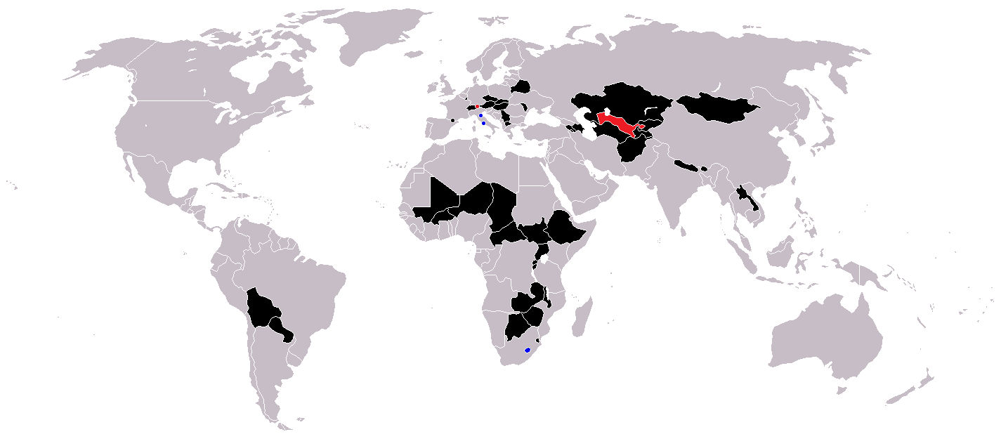
[edit] Countries coloured black on the map

[edit] Licensing

Public domain I, the copyright holder of this work, hereby release it into the public domain. This applies worldwide.

In case this is not legally possible:
I grant anyone the right to use this work for any purpose, without any conditions, unless such conditions are required by law.


Afrikaans | Alemannisch | Aragonés | العربية | Asturianu | Български | Català | Česky | Cymraeg | Dansk | Deutsch | Eʋegbe | Ελληνικά | English | Español | Esperanto | Euskara | Estremeñu | فارسی | Français | Galego | 한국어 | हिन्दी | Hrvatski | Ido | Bahasa Indonesia | Íslenska | Italiano | עברית | Kurdî / كوردی | Latina | Lietuvių | Latviešu | Magyar | Македонски | Bahasa Melayu | Nederlands | ‪Norsk (bokmål)‬ | ‪Norsk (nynorsk)‬ | 日本語 | Polski | Português | Ripoarisch | Română | Русский | Shqip | Slovenčina | Slovenščina | Српски / Srpski | Svenska | ไทย | Tagalog | Türkçe | Українська | Tiếng Việt | Walon | ‪中文(简体)‬ | ‪中文(繁體)‬ | zh-yue-hant | +/-

File history

Click on a date/time to view the file as it appeared at that time.

Date/TimeDimensionsUserComment
current16:14, 25 February 20071,425×625 (30 KB)Aivazovsky
09:29, 23 May 20061,357×628 (46 KB)Stefan040780 (source: same as old map, updated on 23.5.06 by stefan040780)
03:08, 21 June 20051,357×628 (25 KB)Ævar Arnfjörð Bjarmason (Landlocked countries, based on Image:BlankMap-World.png. Category:World maps)

The following page links to this file:

Wikipedia HTML 2008 in other languages

100 000 +

Česká (Czech)  •  English  •  Deutsch (German)  •  日本語 (Japanese)  •  Français (French)  •  Polski (Polish)  •  Suomi (Finnish)  •  Svenska (Swedish)  •  Nederlands (Dutch)  •  Español (Spanish)  •  Italiano (Italian)  •  Norsk (Norwegian Bokmål)  •  Português (Portuguese)  •  Română (Romanian)  •  Русский (Russian)  •  Türkçe (Turkish)  •  Українська (Ukrainian)  •  中文 (Chinese)

10 000 +

العربية (Arabic)  •  Български (Bulgarian)  •  Bosanski (Bosnian)  •  Català (Catalan)  •  Cymraeg (Welsh)  •  Dansk (Danish)  •  Ελληνικά (Greek)  •  Esperanto  •  Eesti (Estonian)  •  Euskara (Basque)  •  Galego (Galician)  •  עברית (Hebrew)  •  हिन्दी (Hindi)  •  Hrvatski (Croatian)  •  Magyar (Hungarian)  •  Ido  •  Bahasa Indonesia (Indonesian)  •  Íslenska (Icelandic)  •  Basa Jawa (Javanese)  •  한국어 (Korean)  •  Latina (Latin)  •  Lëtzebuergesch (Luxembourgish)  •  Lietuvių (Lithuanian)  •  Latviešu (Latvian)  •  Bahasa Melayu (Malay)  •  Plattdüütsch (Low Saxon)  •  Norsk (Norwegian Nynorsk)  •  فارسی (Persian)  •  Sicilianu (Sicilian)  •  Slovenčina (Slovak)  •  Slovenščina (Slovenian)  •  Српски (Serbian)  •  Basa Sunda (Sundanese)  •  தமிழ் (Tamil)  •  ไทย (Thai)  •  Tiếng Việt (Vietnamese)

1 000 +

Afrikaans  •  Asturianu (Asturian)  •  Беларуская (Belarusian)  •  Kaszëbsczi (Kashubian)  •  Frysk (Western Frisian)  •  Gaeilge (Irish)  •  Interlingua  •  Kurdî (Kurdish)  •  Kernewek (Cornish)  •  Māori  •  Bân-lâm-gú (Southern Min)  •  Occitan  •  संस्कृत (Sanskrit)  •  Scots  •  Tatarça (Tatar)  •  اردو (Urdu) Walon (Walloon)  •  יידיש (Yiddish)  •  古文/文言文 (Classical Chinese)

100 +

Nehiyaw (Cree)  •  словѣньскъ (Old Church Slavonic)  •  gutisk (Gothic)  •  ລາວ (Laos)