
Image:Ob watershed.png
From the Simple English Wikipedia, the free encyclopedia that anyone can change
No higher resolution available.
Ob_watershed.png (300 × 300 pixel, file size: 18 KB, MIME type: image/png)
The description on its file description page on the shared repository is shown below.
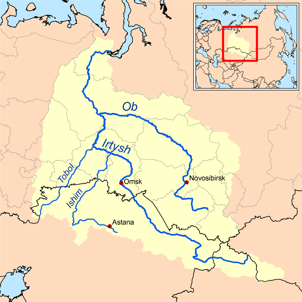
This is a map of the Ob River Watershed (at the confluence with the Irtysh river). I, Karl Musser, created it based on USGS data.
|
File history
Click on a date/time to view the file as it appeared at that time.
| Date/Time | Dimensions | User | Comment | |
|---|---|---|---|---|
| current | 18:12, 10 April 2006 | 300×300 (18 KB) | Kmusser | (This is a map of the Ob River Watershed. I, Karl Musser, created it based on USGS data. {{GFDL}} Category:Maps of rivers) |
Links
The following page links to this file:


